On site
Tarabias November 2022Tarabias November 2022
©Tarabias November 2022|Olivier Octobre

Beautiful walks and hikes

In the Cevennes highlands

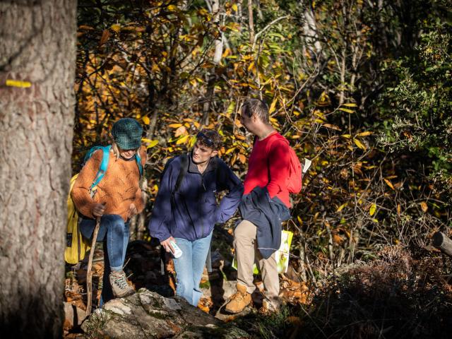
Four ideas for excursions for all tastes, whether you are alone, a couple or a family, everyone can combine the pleasure of walking with the discovery of a natural and architectural heritage.

Each in their own way, these walks and hikes will take you on a journey through Cevennes history where all the eras come to overlap.

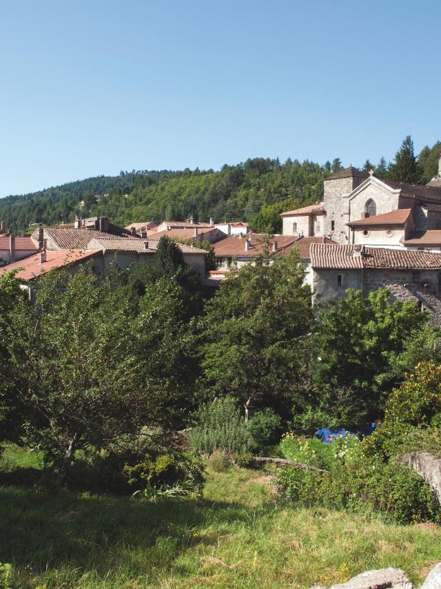
At Saint-Florent-sur-Auzonnet, on a short, easy walk, you’ll go back to the distant days of the dolmens. In Génolhac, you’ll get close to the Middle Ages by walking the village streets and taking a stretch of the Régordane path. Around Portes and its castle, you will also travel in the past by passing through the pine forest mine. And in the secluded village of Bonnevaux and its hamlets, another world awaits you, that of traditional agriculture from medieval times to the present.

Dolmen of Saint-Florent

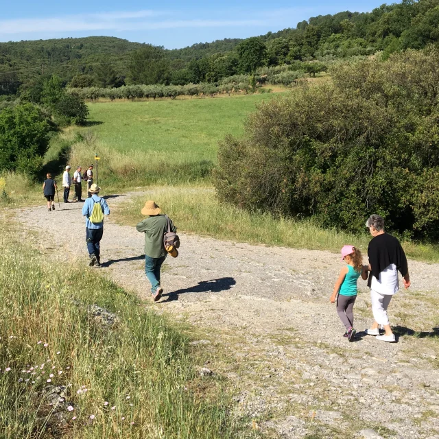
An easy walk or bike ride for the whole family

To the discovery of the Auzonnet valley

Located north of Alès and leading to the slopes of the Col de Portes, this valley inscribed in the adhesion area of the Cevennes National Park is a natural area of ecological, faunistic and floristic interest where you will easily notice the botanical mix.

You will first cross an environment composed of scrubland vegetation, olive tree cultivation, holm oaks (exploited for firewood).

And going up towards the crests or on the northern slope, you will discover a whole stand of chestnut trees, broad-leaved trees and conifers.

Meeting with the dolmen

At the highest point of the walk, nestles the dolmen erected between 2000 and 3000 years before Christ. It would have been crushed and dismantled voluntarily in the Middle Ages. It is the tomb of a Neolithic prince or princess, the first permanent occupants of the commune.

This dolmen is coupled with that of the Col de Trélis, at Martinet, and belongs to a larger set centered on Vallon-Pont d’Arc. Rediscovered a few years ago, it was restored in 2008. But the mystery of this megalith remains…

This looped walk, which lasts about 1.5 hours, starts in the center of the village, in front of the town hall.
Do you know the epic story of the name Saint-Florent?

Saint-Florent is a village whose name has changed several times throughout history. Founded in the twelfth century by Cistercian monks from Burgundy, “Prieuré de Sanctus Florentins ” becomes “ Castrum Sanctii Florencii ” in 1345 and has 12 inhabitants. A new name will be assigned in 1794, under the Revolution: “ Montmajard “. And it is only in 1958 that the village is finally called “Saint-Florent-sur-Auzonnet“.


From Génolhac to the garden of Tomple

Hiking on the Cevennes summits

This circuit will take you from Génolhac to the slopes of Mont Lozère, then to the Amalet valley where the Tomple ornamental garden is nestled.

The Régordane path

The departure is in the center of Génolhac, a medieval village built along the old Régordane pilgrimage path. Today a long-distance hiking trail, this route linked Le Puy en Velay to Saint-Gilles and was very popular as early as the 11th century.

The engraved rock

At the end of the rue du chef de ville, cross the departmental road and go up by a small road on the GR 700. At about 500 meters, you have the possibility to make a detour in a track on the right (marked in yellow), which will allow you to have a clear view on Génolhac and the valley of Homol, and to discover an engraved rock of the stone age. At the end of this trail, you will find the GR.

The Tomple Garden

At the Ancize pass, you start the descent and reach the Tomple Garden. Véronique and Stéphane will welcome you in this place labeled remarkable garden.

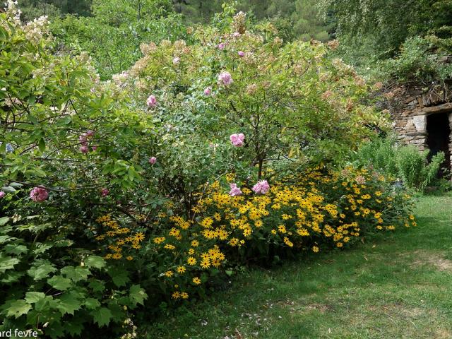
In perpetual evolution, their plant theater reveals itself differently each season. In May-June: rosebushes, hornbeams, viburnums. In July-August: perennials, hydrangeas, grasses. And in September, the asters and foliage take on new colors. You will also appreciate the many ponds and pools that bring freshness and well-being.

You can bypass the garden without visiting it, and continue the hike: you will cross the charming little “Jeannot’s bridge” and go through the undergrowth where pines, chestnut trees, cherry trees, oaks are mixed.

Practical information

Walking shoes, water bottle and “Cevennes Summit” description sheet or guidebook to be provided.

Duration: 3 h 30. Course of 9.3 km. Elevation gain: 320m.

Price of the visit to the Tomple Garden: 6 €.


The pine forest mine

An easy hike, at the foot of the castle of Portes

This hike without difficulties borrows the tops of the slopes from where you will be able to have the view on all the valleys as well as on the Mont Lozère. The departure is on the square, at the foot of the castle of Portes.

Vegetation witnessing human activities

The hike begins with the small road to the cemetery (be careful crossing the departmental road), where you will take a left following the markings. The path then crosses the chestnut grove and pine forest. Typical of the Cévennes, these species have long been indispensable to the Cévenols: the chestnut tree, nicknamed “the breadfruit tree”, fed families for several generations, while the pine, which arrived later, was used to wood the coal mine galleries.

Mining remains of Peyrerols

On the way, remains of constructions will catch your attention: this is an old inclined plane designed to transport the coal extracted from the Vernarède mine to La Grand-Combe, where it was then loaded into a railroad wagon; a system of counterweights on both sides of the mountain allowed the wagons to be raised or lowered. Explanatory signs on site trace this operation.

At Mas Peyrerols, you will find the GR 44 that will take you back to the Col de Portes.

Gate and its strange castle

Named the “vessel of the Cevennes”, this castle-fort was built as early as the 11th century. Classified as a historical monument, it stands proudly on its pass and dominates the valleys of the southern Mont Lozère. Obliged point of passage, it allows to watch, throughout the Middle Ages, the road of the pilgrims of Saint-Gilles and the Crusaders left for the Holy Land by the way of Régordane.

Practical information

Walking shoes and water bottle to bring.

Duration: 2h30. Course of 8 km. Elevation gain : 250 m.


Hamlets of Bonnevaux

A nice loop in the middle of a quiet area without any difficulty

The very arrival in the village of Bonnevaux marks the beginning of a parenthesis in an enchanted nature.

After leaving your vehicle in the parking lot, take the upper lane that will take you through the village to reach the Nojaret cross – the starting point of the trail for a hike far from any car traffic, through villages and hamlets typically Cevennes.

At the Hameau de Coulis, the traditional cultivation of the chestnut tree

At the cross, take the track that runs horizontally and joins up with the hamlet of Coulis. This shady trail is lined with chestnut groves, cultivated in terraces – some abandoned, but others renovated and maintained, thanks to a revival of the population.

After the hamlet of Coulis, nestled in the rounded valley floor, the trail passes onto the other, steeper slope with drier vegetation. Between the clearings of the trees, you will be able to see an old priory (private property), erected by the canons as early as the 12th century and which knew its prosperity in the 14th and 15th centuries since there were up to 300 canons-peasants living there, near the river Abeau.

Nojaret, a treasure of Cevennes architecture

At the next intersection, make the round trip to stroll through Nojaret, a large hamlet of Bonnevaux, which conceals a treasure of Cevennes architecture: stone houses, courtyards, outbuildings, a fountain, a watering place, a béal… flowered and landscaped by its inhabitants.

The walk ends with a climb through chestnut trees, but on the way back, in the center of the village, you will have the opportunity to refresh yourself at the Glacier, on a shaded terrace where artisanal ice creams and cold or hot drinks are served.

Romanesque Church of Saint Theodorit

On the way, you will pass the church of Saint Theodorit, a magnificent Romanesque structure built in the 11th century and topped by a combed bell tower. The building was topped by a gabled bell tower with four bell windows, built in the 15th century. Eleven sculpted heads decorate it. A legend says that these are the heads of the monks who evangelized the region from Bonnevaux… Inside recently restored, a magnificent stone vessel with very pure lines and proportions at the origin of an exceptional sound is to be discovered.

Practical information

Walking shoes, water bottle and IGN 2839 west map or “Cevennes Summit” guidebook to be provided.

Duration: 3h. Route of 8 km.

Close